![]()
![]()
Mission Trails Regional Park
MTRP Mystery Cache
GCD91 - June 6, 2001
Another great hike in this great park. I chose to park at the end of Clairmont Mesa Blvd and take the approach from the north, which worked out great. The cache is a hair over three miles on decent trails from that point. On the way back I went down the "stairs" to the south and cut back up to join the North Fortuna Trail again and head back. The round trip was about 5.4 miles. See my GPS track and profile below. (This is a 300kb file!)

A good challenge would be to find the North Fortuna cache and this one on the same hike. Today was a little hazy so I don't have many "view" photos but I do have a couple.


On the left is a view of a bridge on 52 from the North Fortuna Trail northerly of the cache site. The two on the right were taken from the cache looking almost straight down on Junipero Serrra Trail and the San Diego River. If anyone climbs up from there the find this cache, they're nuts.

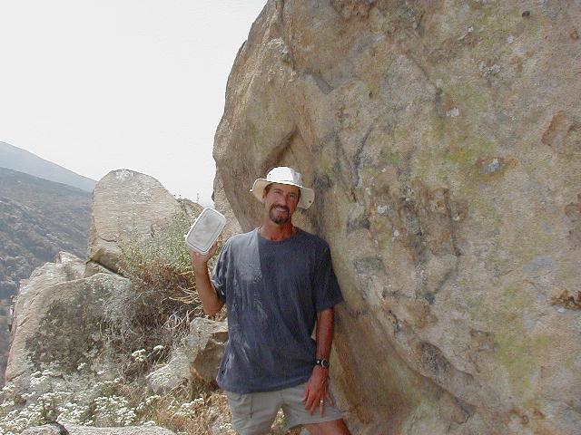
I always like to take some photos of me and the cache just to prove I was really there. The coordinates for this one were right on. When I sat down on a rock to let my GPS get a good fix, it was telling me the cache was 6 feet away. It turns out that it was literally directly under the rock I was sitting on!

From the trail, the cache was about fifty feet away - not much bushwhacking or climbing needed. This photo shows the trail which goes southerly down the mountain. These steps go on for quite a while. I was glad to be going down them rather than up.