![]()
![]()
Anza-Borrego Excursion
October 23 to 25, 2001
Last
week Lorri and I had the opportunity to take a few days out of our busy schedule
and slip out the Anza-Borrego Desert State Park. From our door, the place where
we camped was about an 80-mile drive on scenic (for the most part) Routes 67 and
78. Here is a link to more information regarding Anza Borrego:
http://www.anzaborrego.statepark.org/home.html
The
following paragraph was lifted directly from the above linked website without
their permission or knowledge. If it was illegal to do so, please blame it on
Bill Gates for providing such slick software which includes “copy” and
“paste” which makes doing this kind of stuff real easy.
"With over 600,000 acres, Anza-Borrego Desert State Park® is the largest desert state park in the contiguous United States. 500 miles of dirt roads, two huge wilderness areas (comprising 2/3 of the park) and 110 miles of riding and hiking trails provide visitors with an unparalleled opportunity to experience the wonders of the Colorado Desert. The park name is derived from a combination of the name of Spanish explorer Juan Bautista de Anza and the Spanish word "borrego," referring to bighorn sheep. The park features washes, wildflowers, palm groves, cacti and sweeping vistas. Visitors may also have the chance to see roadrunners, golden eagles, kit foxes, mule deer and bighorn sheep as well as desert iguanas, chuckwallas and four species of rattlesnake."
We left
Route 78 and headed north up a dirt road along a wash for about seven miles
where we found a nice level, secluded spot to park the van. Click on the
thumbnail below to see our GPS track on a topo map of the area. This is a pretty
big file (440KB) but kind of interesting if you’re a map geek like me.

Here is a photo of Lorri and our campsite:

After we got settled we went for a long walk farther up the wash. There we are hiking and there I am on top of a big dirt pile. I’m starting to understand why people climb mountains. It’s because they are there, right? That’s the same reason I climb dirt piles.


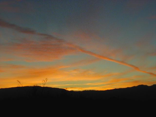
The next
night there was a great sunset. I took about 20 photos of it and this is the
best one but by no means comes anywhere close to doing it justice.
Below is a
photo of some of the desert wildlife assuming a defensive position.

Well thanks for visiting my Anza-Borrego trip page. I hope you enjoyed it as much as I did.