


back to Superstork.com
Ramona Overlook Cache - GC25EF
November 1, 2001
One of my favorite trails is the Iron Mountain Trail in Poway. It's located easterly of Route 67 near the intersection of Poway Road. There are two trailheads off 67, one at the intersection of Poway Road and the other off Ellie Lane, a half mile or so north of Poway Road.
For this excursion I chose to park at Ellie Lane and head up to the Overlook along the trail in a clockwise direction. For you map nerds with fast connections, below is a 370KB file that shows my GPS track and other exciting information about this hike, including a profile, which, as we all know, shows elevation gain and loss.

********************************************
I went back to the Cache on November 8th, parking at the Poway Road intersection trailhead and made more measurements and another exciting map! Here it is (280KB):
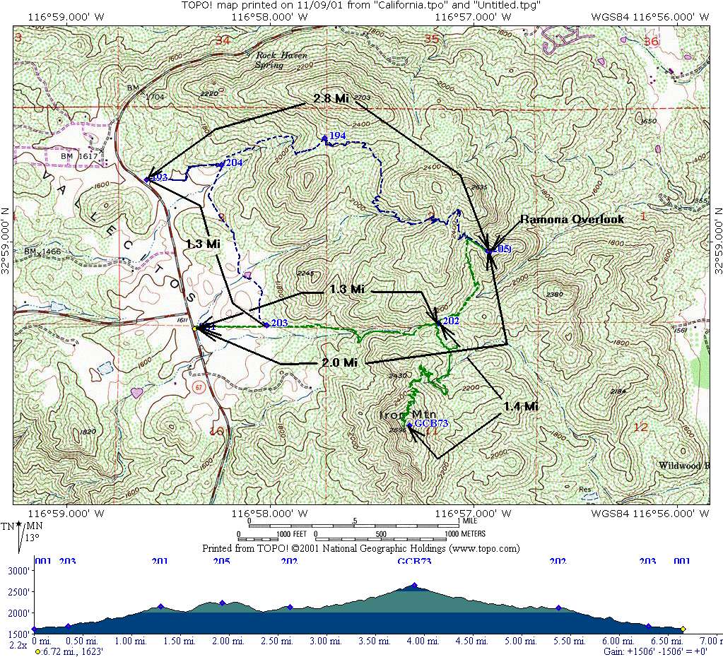
The Cache is about two miles from this trailhead. The top of Iron Mountain is about 2.7 miles from the trailhead. I hiked form the trailhead to the Cache then turned around and went back and up the trail to the top of Iron Mountain and then back to the trailhead and my trusty Garmin III told me I walked 6.6 miles total.
*****************************************
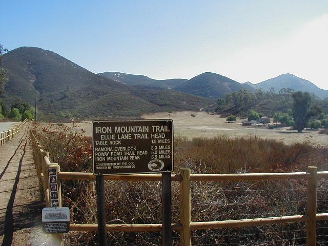
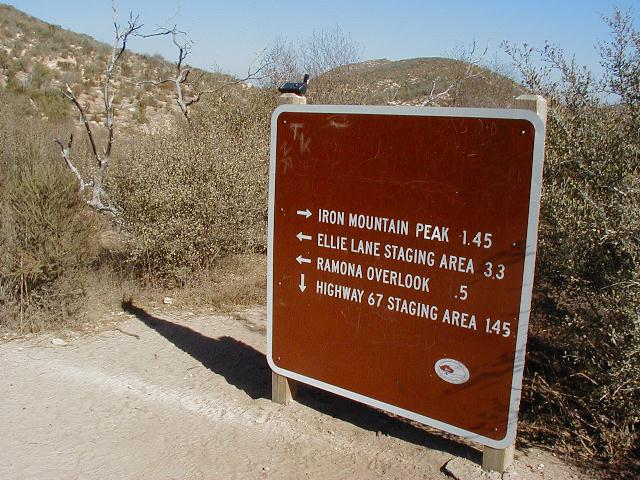
This is the sign at the Ellie Lane trailhead. It says that the Ramona Overlook is three miles, which is pretty close to what my GPS measured. You can see the trail on the left side of the photo.

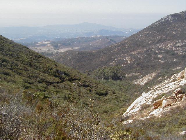
This was taken from the trail about .8 mile from the start. If you look closly you can see the parking lot at the trailhead and Black Mountain in the background.
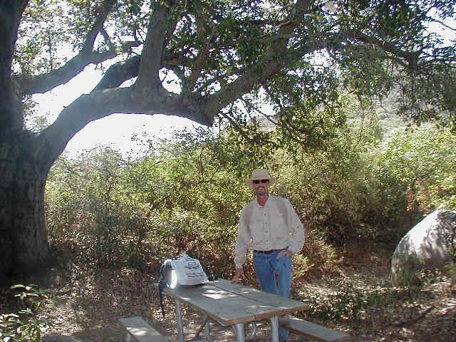
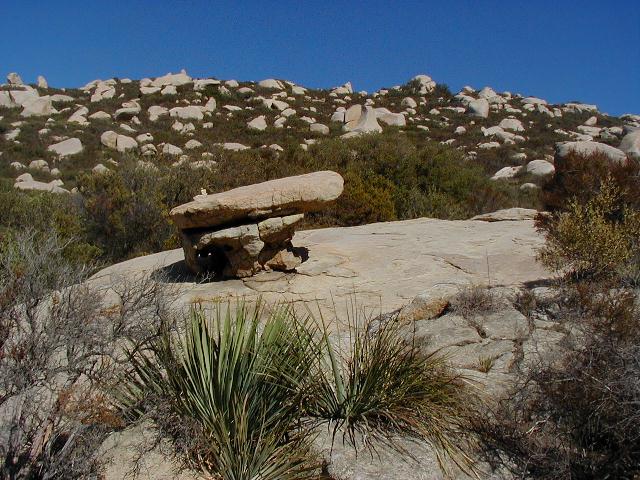
At about the one mile marker there is a nice shady spot with a picnic table and just a little farther is the world-famous table rock, which, paleontologically speaking, was used a long time ago by Fred Flintstone and Barney Rubble for their picnics before they invented picnic tables. The photo on the right was taken from near the two-mile marker looking west.

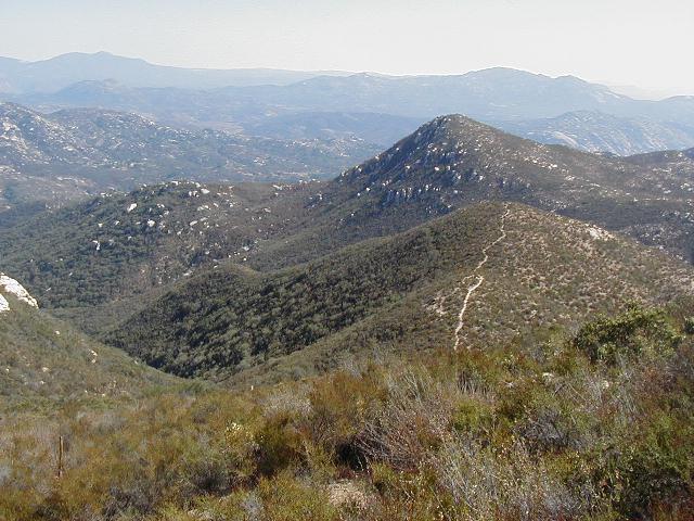
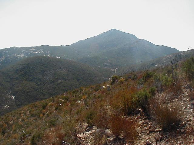
The highest point of this hike is marked by a 4x4 post. You can see Cuyamaca Peak in the background. As you start heading down the other side you get a great view of the side trail that leads to the Ramona Overlook. It's that skinny little trail in the photo on the right.
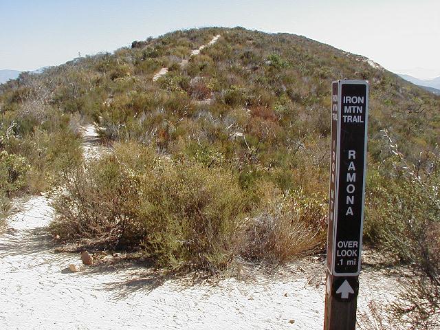
When you see this sign post, take that trail.
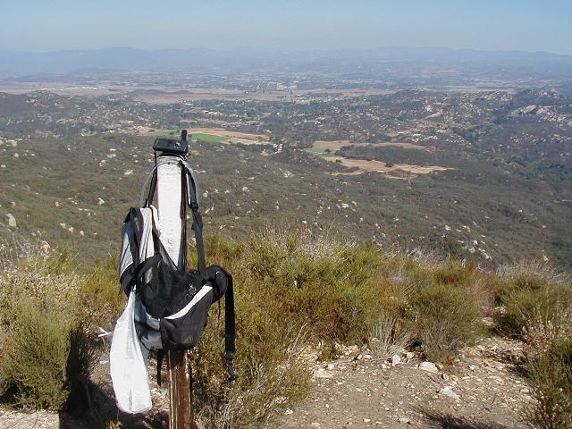
When you get to the Overlook, go to the post where my pack is hanging in this photo, turn right, go down the slope a bit and find the Cache.
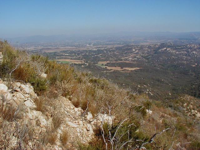
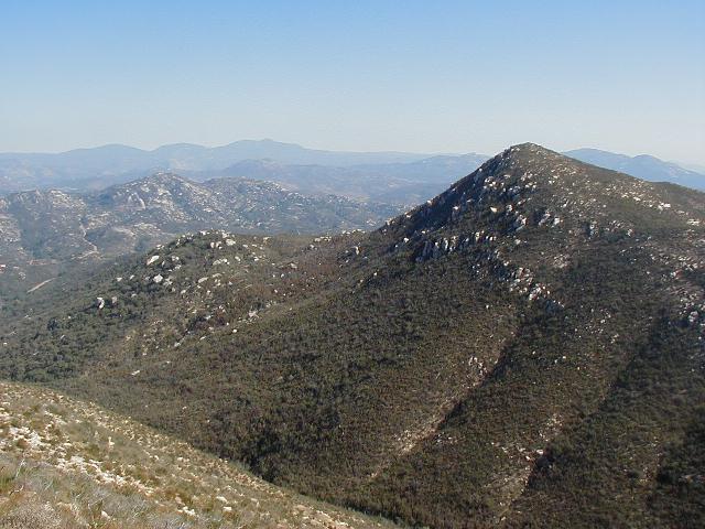
Views from the Cache site: North, East, South
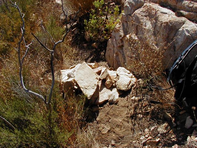
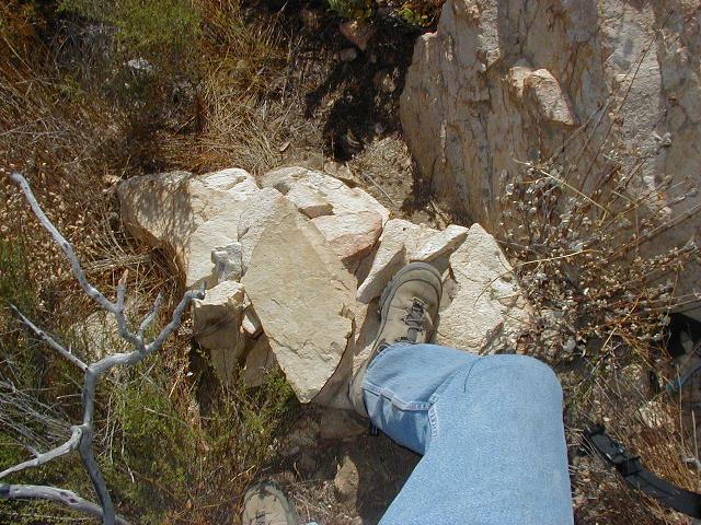
If you see a pile of rocks that looks like the photo on the left, you're getting warm. If you put you foot on a pile of rocks like the one on the right, you're getting hot!
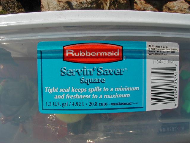
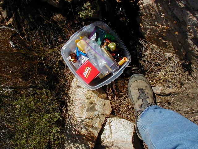
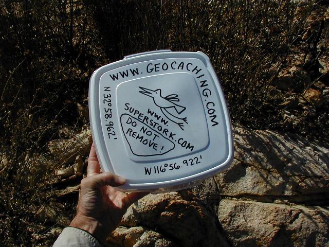

When you find a container with this label and it has stuff printed all over the top, you're cookin'!
Once you've found the Cache, you might as well keep going around the trail clockwise until you get back to Ellie Lane.
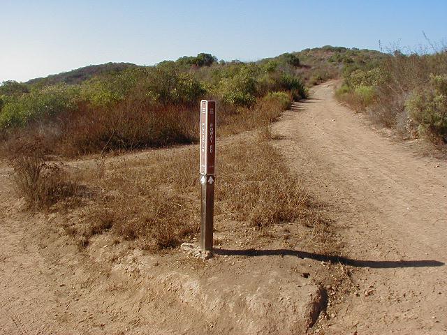
At about 3.8 miles, you come to a point where you can continue up to the top of Iron Mountain or head west back toward Route 67. The sign in the photo on the left is at that point. To get back to Ellie Lane, you must veer to the north when you get to the point shown in the photo on the right.


These two were taken at the Trailhead at Ellie Lane.
All and all, this is a great hike. It's a little less than six miles round trip and well worth the effort. Hopefully, the Ramona Overlook Cache will add a little fun to your hiking experience.