![]()
![]()
![]()
![]()
Virginia & North Carolina
With West Virginia in the rearview, we headed into the historic State of Virginia. There is so much history in Virginia that we couldn't decide where to stop so we didn't stop hardly anywhere except a State Park in the Appalachians called "Douthat" which should change its name to either Doubt-that or Do-that. If it doesn't, I doubt that I will do that again. Sorry. And, we stopped at Historic Williamsburg for a couple days before heading south into North Carolina and the Outer Banks.
Without a doubt, Douthat State Park was a nice facility and very picturesque. Like almost every state park, it is built around a body of water created by a dam which, in the photo below, is what Lorri is standing in front of. (Oh no! Not another dam picture.) In the other photo, I'm standing in a little bridge along a trail we hiked.


We stayed in Williamsburg two nights. If you never heard of Williamsburg, you're probably from California. Williamsburg is an attempt to re-create a town as it would have appeared in "Colonial Times". Re-create is not quite accurate because many of the buildings ARE from the Colonial period and therefore were not re-created but only created once, a long time ago. Here are some photos.


Williamsburg, VA
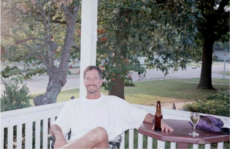
From left to right, that's Lorri out standing in the street in "downtown" Williamsburg. That's me on the porch of one of the eating and drinking establishments relaxing with a beer. Apparently, martinis were not available in Colonial times, so they only serve beer and wine. Next is Lorri in front of the Governor's Mansion.
Outer Banks, North Carolina
Attention Geography Buffs!!!! You all are really gonna like this - a map! Even surveyors might find it interesting although it is NOT to scale.
The Outer Banks are a series of barrier islands along the coast of NC. What is a barrier island? Many people have asked be this question. The answer is a barrier island is a thin strip of sand with the ocean on one side, a bay or sound on the other side and a bunch of sunburned, over-eating, half-inebriated, vacationing city-folk in between. We camped for three nights on the island of Ocracoke, part of the Hatteras National Seashore and then went a little way north to Corolla where we rented a house for a week a visiting and partying with the Fillings and the other Fillings, the former Fillings being my daughter Debbie, hubby Mike and grandkids Malarie and Jacob, the latter Fillings being Mike's brother Matt and his lovely wife Nicki and their kid Madeline. Anyway, before you geography buffs start whining, here's the map

If you look at the big version, you'll see "where we camped" and "where our house was". At the very top is the state line between NV and VA.


Left to right, the ferry to Ocracoke (it's an island). You can see the van. Our camp spot at Ocracoke. The ocean is just yonder over those dunes. The Ocracoke Light, one of four lighthouses along this stretch of the OB. The others are Hatteras, featured with Lorri in the next photo, Bodie and Currituck. The last photo is from the top of the Hatteras Light looking southerly.